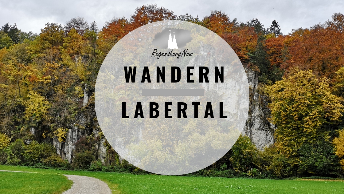
Lab Valley
EXCURSION TO THE VALLEY OF THE BLACK LABER!
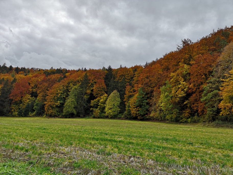
Oh, I love fall! I didn’t used to, but now I really enjoy this time of year. That’s mainly because it’s the best time for me to go hiking. The fresh air, the colorful leaves, mushrooms, chestnuts…
“Shinrin Yoku” means “immerse yourself in the atmosphere of the forest” in Japanese. Let’s go then! By the way: “forest bathing” is a recognized form of preventive health care in Japan. With this in mind, here’s a great forest walk for you.
From Deuerling to Laaber and back:
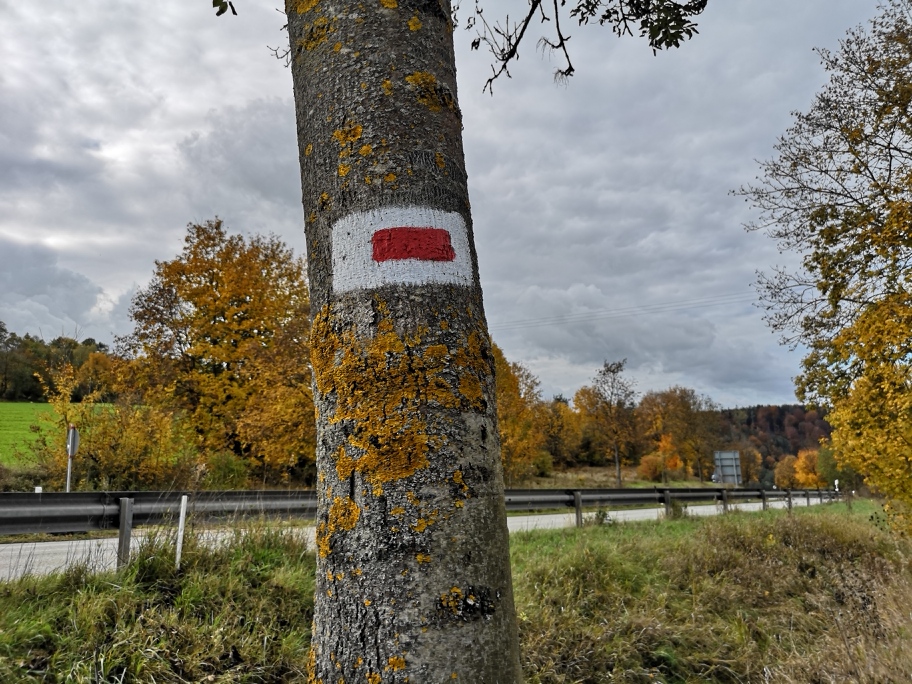
The starting point for this approx. 12 km circular hike is the train station in Deuerling. The first hiking sign for this route is located directly at the parking lot. We follow the red rectangle W47 to Laaber.

After the train station, we turn right along the main road for a while before reaching the narrow slope path of the Pfaffenberg.
At the end of the path, we cross the Labertalstraße at the green Münchsmühle town sign and continue straight on across the Laber to the entrance to the Münchsmühle sawmill.

Here, at a small chapel next to a tree, the two hiking trails red rectangle and red triangle (coming from Laaber) cross, on which we will return. However, we now take the path with the red rectangle on the left next to the chapel.

After a short uphill section, there is a crucifix on the left. The path joins a plateau here. At the crucifix, we immediately turn right onto a field path – the hiking sign with the red rectangle is unfortunately so faded here that you can no longer see it properly.

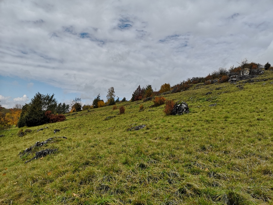
The path then leads into a forest, from here you have to pay close attention to the red rectangle as the path zigzags from here with a few changes of direction. The hike is very varied and leads through forest and across Jura meadows along the slopes of the Jura valley. At the end, we arrive at the Calvary above Markt Laaber.

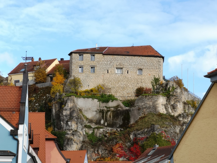
We walk down past the Stations of the Cross and then turn right into Schernrieder Straße to the Laberbrücke bridge. From here you can already see the ruins of Laaber castle. The destination of our first stage is the pretty market square of Laaber below the castle.
The noble family of the eponymous Lords of Laaber, who probably came from Riedenburg or Abensberg and settled in Laaber around the year 1003, built this castle at the end of the 12th century, the remains of which can still be seen today. Incidentally, Laaber was granted market rights in 1393.
From the market square, we go straight on at Gasthaus Plank (which is on our right) and turn right at Restaurant Delphi (Regensburger Straße) down to the Schwarzer Laber. Behind the Plank brewery we cross two pedestrian bridges. After the bridges, we follow the new hiking sign with the red triangle (W25, point towards Eichhofen).

At the end of the path, cross the road and turn left along the road. The path then continues to the right along field paths alongside the forest and finally into the forest again. Here you can see some quite impressive rock formations.

After a while you will see the campsite and Landgasthof Hartlmühle on your left, the path branches off to the left, continuing past the campsite and always following the red triangle.

At the crossroads, turn left again and walk parallel to the Schwarzer Laber, again along field paths and past forest and Jura rocks back to the chapel at the Münchsmühle sawmill. Here we turn left and follow the red rectangle back along the same path as at the beginning. We cross the Laber again and cross the road again at the green Münchsmühle town sign and walk along the meadow path towards Deuerling station.
The stage from Deuerling station to Laaber is approx. 6 km long (red rectangle W47), the return route from Laaber to Deuerling station is also approx. 6 km long (red triangle W25). The trail is very well marked thanks to the Regensburg Forest Association.
Sturdy footwear is required as the paths are quite narrow and muddy in places.

Have fun hiking! Yours Annette
(unpaid advertising due to naming and shaming)
Our excursion tips on Facebook:
Do you already know our Facebook group “Excursion tips in and around Regensburg plus Upper Palatinate” with more than 22,000 members? Click here for the group.
RegensburgNow.de has over 40,000 readers per month and is a site of the RegensburgNow agency
If you are interested in advertising on RegensburgNow, please write to us at mail@regensburgnow.de
Don’t miss a thing! Subscribe to our newsletter:
Want more tips? Then please click here:


Diese Artikel könnten Dir auch gefallen

10 fall tips

November Tipps
